Mountain Biking Parks
Singapore Travel Packages
Compare quotes from upto 3 travel agents for free
Dazzling Singapore Package with Flights Included
Singapore City(5N)
Sold By:
Freezemytrip(4.7
![]() )
)
Singapore Tour Highlights
Singapore(4N)
Sold By:
Rg Travels Corpor...(5.0
![]() )
)
6 Nights Singapore Package with Airfare Included
Singapore City(6N)
Sold By:
Freezemytrip(4.7
![]() )
)
Singapore & Malaysia Combo Deal Package
Singapore(3N) → Kuala Lumpur(2N)
Sold By:
Holiday Matrix Pr...(4.7
![]() )
)
Singapore 3 Nights Package with Universal Studios
Singapore(3N)
Sold By:
Holiday Matrix Pr...(4.7
![]() )
)
Budget Singapore Tour Package
Singapore(3N)
Sold By:
ASAP Holidays(4.7
![]() )
)
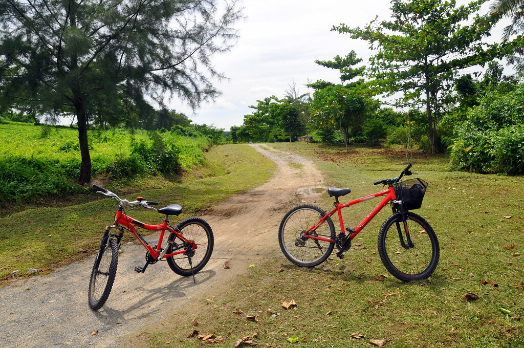
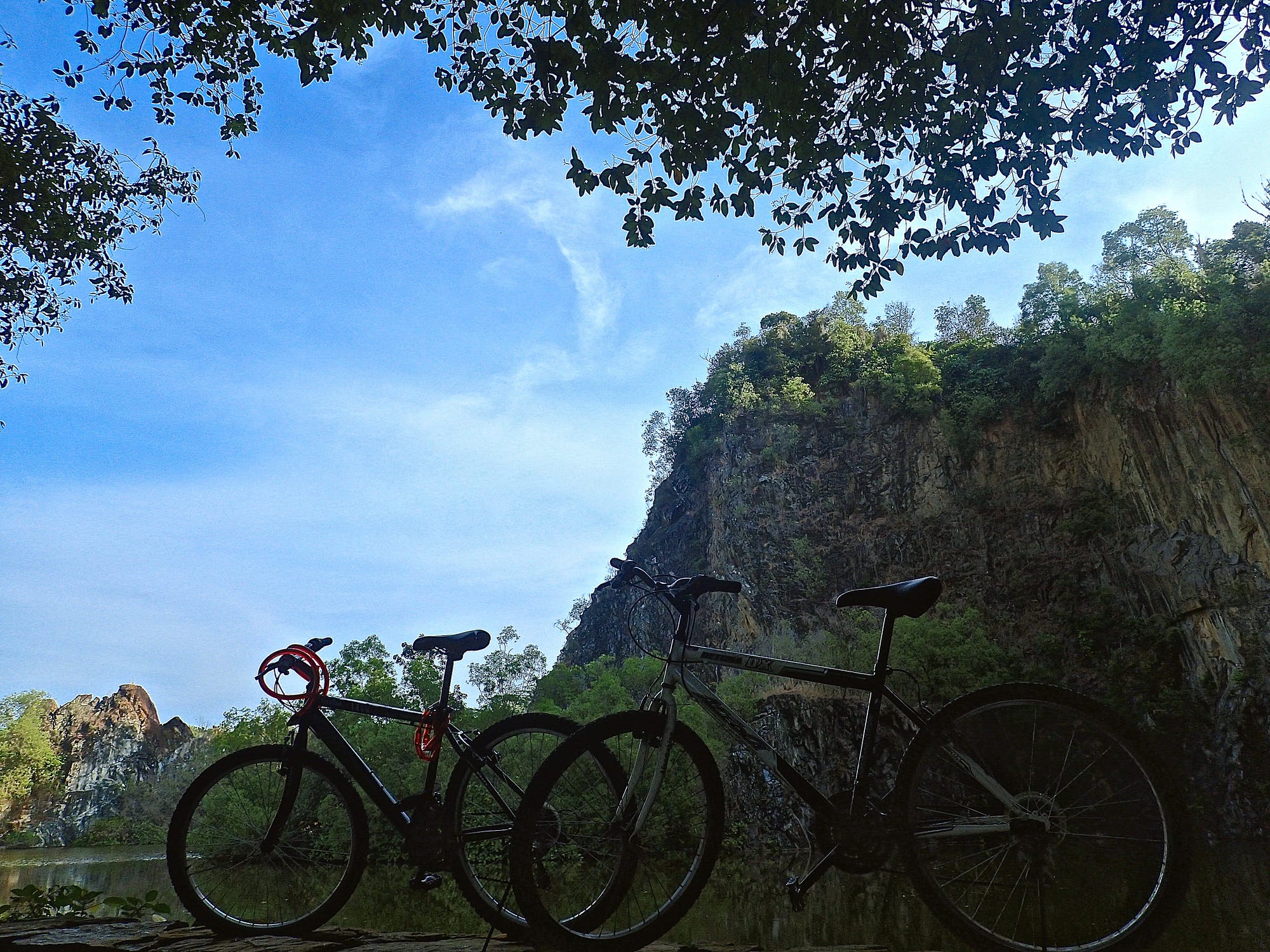
Mountain Biking Parks, Singapore Overview
Mountain Biking is a thrilling, adrenaline-fuelled adventure sport which has recently risen to popularity in Singapore. From its tropical rainforests to seaside locations, several spots in Singapore make it ideal for a Mountain Biking adventure. It is now a serious passion among local Singaporean people, as well as those visiting Singapore. These six Mountain Biking Trails and Parks are sure to accommodate enthusiasts of all grades- from Novice to Advanced.
Bukit Timah Mountain Biking Trail
Bukit Timah MBT is the Mecca of Mountain Biking in Singapore, entirely loved by both locals and international bikers, Situated in Bukit Timah Nature Reserve area, the Bukit Timah Mountain Biking Trail is an adventure-packed, power-demanding trail. At only 6.5 kilometres, this biking trail is not to be underestimated. With sharp descents, par-rocky par-muddy terrain, slippery corners and steep climbs, this MBT is a real test of your fitness.
Environment
A tropical paradise, the Bukit Timah MBT exhibits a typically Singaporean environment which makes it a prized location among locals. The area is rich in flora and fauna, and over 40% of all native species are found here. A few examples of such species are Shorea curtisii, Red Dhup (Parishia insignis), Greater Racket-tailed Drongo (Dicrurus paradiseus) and Malayan Colugo (Galeopterus variegatus). Be ready to greet Monitor Lizards and Monkeys during your trail because they’re pretty common here.
Difficulty
The 6.5 km trail circumnavigates the Bukit Timah hill and is constituted of several ascents and descents on a mixture of concrete, singletrack, mixed and raw trails through the Bukit Timah Nature Reserve. Some areas are rocky or are interrupted by tree roots. At certain places, riders have to hike while carrying their bikes over a flight of stairs.
Trail Difficulty Rating System
Majorly made of Black Diamond sections, with a few Blue Square as well as short Double Diamond sections.
How to Reach
Those taking the MRT may alight at Beauty World MRT Station and take Exit A to Bukit Timah MBT. Those taking the bus may take bus numbers 67, 75, 170, 171, 184, 852, 961 and alight at Jalan Anak Bukit Road, opposite Beauty World Centre (42109) or Upper Bukit Timah Road, opposite Bukit Timah Shopping Centre (42091).

Ketam Mountain Bike Park
Located in the island of Pulau Ubin, Ketam Mountain Bike Park is the largest mountain biking park in Singapore. Encompassing an area of 45 hectares, the Mountain Bike Park features over 10 km of fairly easy to difficult trails. Ketam is perfect for those who want to leisurely ride their bike in the mangrove-rich terrain, or go on to ride on an internationally acclaimed, obstacle-packed Mountain Biking trail.
Environment
Constituting the village area, the trail brings with it a variety of sceneries, each one being promisingly beautiful. The trail leads through grasslands, rainforests, and also through concrete roads and the village. It is situated surrounding the Ketam Quarry and has over 2000 species of native shrubs and trees growing around it. Ketam is rich in biodiversity, forming a natural habitat for birds, dragonflies and other animals such as the Red-wattled Lapwing and Baya Weaver. The highest point of the island, known as Bird Ridge is a rest point which offers a great view of the island. One may also stop by the German Girl Shrine, which is dedicated to a German Girl who lost her life during World War II.
Difficulty
The trail starts off an easy one leading through a flat grassland but soon develops into a tougher track with switchbacks and steep climbs. There are several boulders, logs, tree roots as obstructions on the track, so be careful of those. Ketam Trail doesn't have extremely unpredictable areas, like in Bukit Timah MBT. Ketam is perfect for those who want to leisurely ride their bike, as well as for adrenaline junkies.
Trail Difficulty Rating System
The areas within the village are generally white circles to blue squares. However, once into the forested area, and near the Quarry hillside, it is the black diamond type with a few blue squares. A select double diamond parts are present as well.
How to Reach
To get here, one must take a bumboat from Changi Point Ferry Terminal, near Changi Village Hawker Centre. The price of one person is SGD 3, and SGD 2 for a bike. The boat leaves when 12 people get on it. There are no fixed departure timings. If you'd like to leave immediately, you need to pay SGD 36. On getting down at Pulau Ubin, the trail is another 10-15 minutes walk.
Chestnut Nature Park
Chestnut Nature Park is one of the biggest nature reserves in Singapore, covering an area of nearly 81 hectares. Its 8.2 kilometre long dedicated Biking Trail is popular amongst those who like to take in the beauty of green surroundings while biking. The trail consists of both extremely easy to challenging and difficult trails, and is well suited for beginners as well as experts. The Bike Park nearby is great for those who want to practice sharp descents and have an experience on how to handle jumps and bridges technically. The park is also equipped with a one-of-a-kind pump track where riders can show off their tricks.
Environment
The colour green dominates the scene at Chestnut Nature Park. A number of native trees such as raided Chestnut (Castanopsis inermis), Singapore Walking-Stick Palm (Rhopaloblaste singaporensis) and the Jelutong (Dyera costulata) are seen growing inside. These trees, however, do not grow naturally and have been planted to ensure a thriving biodiversity of birds, insects and small animals alike.
Difficulty
The difficulty ranges from easy to moderate. This mountain biking park is effective for learners who'd like to get an experience of how Mountain Biking is like.
Trail Difficulty Rating System
Mostly blue square to a single black diamond with very few double black diamond areas.
How to Reach
Those taking the MRT may get down at Pending LRT. Exit and walk towards Bukit Panjang Hawker Centre, and head towards Blk 276 Bangkit Road which leads towards Zhenghua Park. From there, a tarmac track leads to Zhenghua underpass crossing which is Chestnut Nature Park. Alternatively, one can take bus numbers 700 or 966 and get down at Block 202 bus stop at Petir Road. Chestnut Nature Park is a 2 km walk along Petir Road.
Coney Island
Naturally diverse, Coney Island is a 50 hectare paradise for nature lovers as well as biking enthusiasts. With its 50 hectare area, it is as natural as it gets. Efforts have been made to make sure Coney Island doesn't lose its rustic appearance. The pristine island also has an untouched 2 kilometre long beach on its southern side. Formerly known as Har Paw Island, named after the famous creators of Tiger Balm- the Har Paw Brothers- the park used to house their private beach villa once upon a time. However, during the World War II, the villa was more or less destroyed. Even though the villa still stands today, it is out of bounds, and highly dilapidated. Hence, for your own safety, it suggested to steer clear of it.
The trail itself is 2.4 kilometre long, built of dirt, stone and gravel. At times, there are paved concrete roads and boardwalks near the mangroves. Relatively easy, one could have a good experience of real mountain biking before progressing to the difficult ones.
Environment
With its location and natural outlook, Coney Island houses a wide variety of flora and fauna. Species of several habitats- from coastal forest to grasslands, and mangroves to casuarina woodlands- inhabit the park including birds, insects and other small animals. Look out for the Baya weavers who weave their intricate nests with flowers and leaves, and Oriental Magpie-Robin which have a sweet calling sound amongst the 80 different species of birds. Long-tailed Macaques are also common. However, if you encounter one, please don't feed them.
Difficulty
Rather than being adventure and thrill centric, this MBT is a nature centric one- one which offers riders a comfortable pace along with stunning views of what's around. The riding comes easy with a very few snaking corners. Riders can ride pleasantly through the boardwalks in the forests of mangrove, the paved pathways surrounding casuarina trees and the cemented promenades by the beach.
Trail Difficulty Rating System
Trail varies between white circles to green circle to blue squares in a few areas.
How to Reach
The most recommended route is to take an MRT to Punggol MRT Station, and walk a little to Punggol Bus Interchange which is adjacent to it. From here, take bus no. 84 to Punggol Point Park or Punggol Settlement. Coney Island Park West Entrance will arrive on walking around 500 metres along the Punggol Promenade Nature Walk.
Kent Ridge Bike Trail
One of the most difficult Mountain Biking Parks, Kent Ridge Bike Park is a favourite amongst bikers from Singapore and the world. The trail is only around 2 km long, with a separate D-Line for gravity users. The trail is an unpredictable one - you never know when a hairpin corner is coming up next. So, it's best to be careful here. Situated around a small hill, it is rather improbable for riders to get lost around here. This is a must-try for adventure hungry bikers looking for the thrill of an adventure in the heart of the city.
Difficulty
The trail is an unpredictable one, and hence wouldn't be recommended to beginners. Hairpin corners, drop-offs, slippery slopes and sharp descents are common here. Riders have to be experienced along with the need to be technically adept in abilities such as grip, balance and control. It is best to be familiarised to the route slowly, to enjoy it to the fullest.
Trail Difficulty Rating System
The trail is mostly a single to double black diamond trail.
How to Reach
Those taking the MRT may alight at Pasir Panjang MRT Station, and walk along Pepys Road for 15 minutes to reach Kent Ridge Bike Trail. Alternatively, you can take the bus numbers 10, 30, 51, 143, 175, 176 or 188 to Pasir Panjang MRT station, and walk again. It can be also be accessed from Vigilante Drive, by taking bus number 200 and getting down at South Buona Vista Road.
Mandai Track 15
Popularly known as Gangsa, Track 15, or simply T15, Mandai Track 15 is a beginner's paradise. The trail is comparatively easy and has smooth climbs and slopes. It is more or less non-technical as long as a brutal speed isn’t involved. The trail is devoid of rock gardens, jumps, drop-offs and hairpin bends, and thus recommend to anybody who is just starting out with Mountain Biking.
Environment
Mandai Track 15 is surrounded by lush forests. A great variety of trees and shrubs grow here, and form a natural habitat for several birds and dragonflies. Be attentive and you might just spot rare bird species, such as the straw-headed bulbul (Pycnonotus zeylanicus) and scaly-breasted munia (Lonchura punctulata).
Difficulty
Mandai Track 15 is an easy track with a consistent terrain gradient, and minimal changes in slope. It is best for beginners to practice their skills. Experts can have a high energy, full-speed experience as the track is relatively easy and smooth.
Trail Difficulty Rating System
The trail is mostly green circle with the occasional blue square.
How to Reach
As the nearest MRT Station is 80 minutes from Mandai Track 15, it is recommended to take a bus to Mandai Park Connector (bus nos 138, 171) and walk to Central Catchment Park Connector. From here, the Gangsai trail is a few minutes' walk. If one really wants to take the MRT, they can take the North-South line and alight at Ang Mo Kio MRT Station. From here, take bus no 138 to Mandai Park Connector and repeat the steps above.